1. Watkins glen state park - New York - Sep 2018
2. Maryland Heights Trail - West Virginia - Aug 2021
3. Springer mountain - Georgia - Aug 2021
4. Artist Bluff - New Hampshire - Oct 2021
5. Owl's Head Hiking Trial - Vermont - Oct 2021
6. Diamond head state park - Hawaii - May 2022
7. Mount Arab Fire tower - New York - Oct 2023
8. Delaware Water Gap from Mt. Tammany Trial - New Jersey - Apr 2024
9. Ooh Aah Point - Grand Canyon National park- Arizona - Oct 2024
10. Scout Lookout - Zion National Park - Arizona - Oct 2024
11. Navajo Loop Trail - Bryce Canyon National Park - Utah - Oct 2024
12. Plainsboro preserve - New Jersey - May 2025
13. Hudson highland state park - Bulls hill loop - New Jersey - May 2025
14. Exit glacier - Glacier overlook - Jul 2025
15. Twins peak - Eklutna Lake - Alaska - Jul 2025
Gorge Trail, which is about 1.5 miles long and spans the length of the park. The gorge follows the path of Glen Creek at the base of the 400-foot-deep gorge and features 832 stone steps. It took us about 2 hours,you need to have snacks, comfortable clothes and sneakers


2. Maryland Heights Trail - West Virginia - Aug 2021
We parked our car at the Visitor Center parking area and use the park’s free shuttle system to access the trail from Lower Town. The trail from Lower Town to Maryland Heights Overlook - 4.5miles , takes 3-4hrs.
 |
| view from summit |


3. Springer mountain - Georgia - Aug 2021
The Springer summit is just 1.9-mile out-and-back trail, but considered moderately challenging route . A bronze plaque on the summit commemorates the final, southernmost white blaze of the Appalachian Trail, the start (or end) of an epic adventure for thru-hikers on their 2,000+ mile journey.


4. Artist Bluff - New Hampshire - Oct 2021
Initial steep ascent that makes it challenging but the overall distance is just 1.5 mile loop.Great view of Echo lake & the highway from the top.


5. Owl's Head Hiking Trial - Vermont - Oct 2021
Distance: 3.6 miles round trip . This 1.5 hour trail leads to a breathtaking view of Lake Groton, Kettle Pond, and the glorious Green Mountain

 |
   |
6. Diamond head state park - Hawaii - May 2022
This 1.6 miles round trip, hike from trailhead to the summit is steep and strenuous, gaining 560 feet as it ascends from the crater floor a moderately challenging route, it takes an average of 1 h 5 min to complete, it is very steep and uneven in some areas.This broad, saucer-shaped crater was formed about 300,000 years ago during a single, explosive eruption that sent ash and fine particles in the air. As these materials settled, they cemented together into a rock called tuff, creating the crater, and which is visible from the trail in the park.


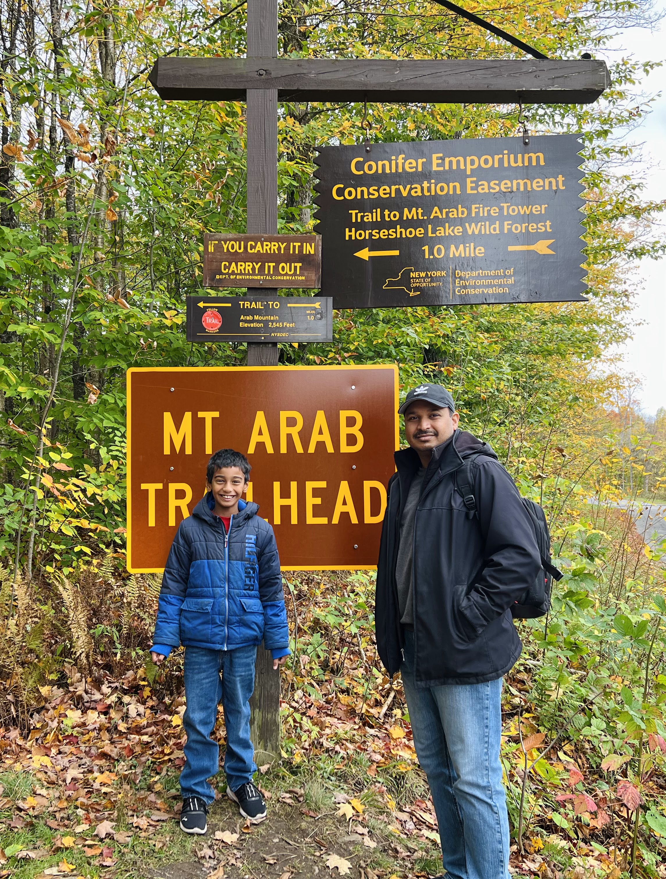
7. Mount Arab Fire tower - New York - Oct 2023
1.9-mile out-and-back trail near Piercefield, New York. This takes about 2hours. Mt Arab has been a very popular because of the spectacular views from the fire tower. You can view Tupper Lake and Mount Morris to the southeast, the Adirondack High Peaks to the east Mt Arab Lake to the west.
 |
| view from mount Arab |


8. Delaware Water Gap from Mt. Tammany Trial - New Jersey - Apr 2024
The Mt. Tammany Trail (Red Dot) is one of two trails that lead to the outstanding view looking into the Delaware Water Gap from Mt. Tammany. This hike is one of the most challenging in the park. We took a loop , hiking up the Red Dot Trail and down the Pahaquarry Trail (Blue Blaze)


9. Ooh Aah Point - Grand Canyon National park- Arizona - Oct 2024
This 1.8 miles - Moderately challenging and takes about 1 Hour with 600 Total Feet of Climbing and Max Elevation of 7260 feet. Each step of the hike offers breathtaking views, culminating at Ooh Ahh Point where you get to see panoramas, including the little-visited eastern Grand Canyon.
10. Scout Lookout - Zion National Park - Arizona - Oct 2024
This 4.2 mi round trip hike is considered Strenuous hike with Elevation Change of ~1,000 ft and needs min 3 hours. Trail is paved, steep, and narrow in sections. , but has a section - Walter’s Wiggles: a series of 21 switchbacks, is really challenging especially for young kids, without hand railings or fences at some points11. Navajo Loop Trail - Bryce Canyon National Park - Utah - Oct 2024
This hike is 1.3 mile and takes around 2 hours, with an Elevation Gain: 515 feet and considered Moderately difficult.The iconic Navajo Loop Trail begins and ends at Sunset Point. Its switchbacks wind between narrow walls of colorful limestone with views of towering Douglas-fir trees and the park's most famous hoodoo: Thor's hammer. The loop has two sides: Two Bridges and Wall Street. The Two Bridges side is open year-round, however, the Wall Street side is closed during the winter months.